Choosing the right truck navigation app for fleets is critical for logistics companies that want safer routing, reliable ETAs, and compliant truck operations.
The right truck navigation app (or device) does far more than display turn-by-turn directions: it encodes vehicle dimensions and cargo rules, avoids restricted roads, respects legal and physical limits (height, weight, ADR/HAZMAT considerations), works offline, integrates with dispatch and telematics systems, and produces reliable ETAs that your planners and customers can trust.
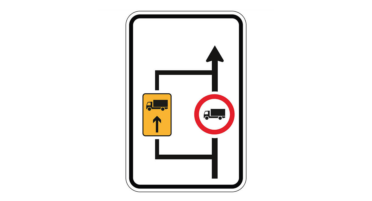
Apps designed for cars can’t do this consistently, which is why specialized truck navigation continues to be a distinct category in 2025.
Below, we break down the leading options. Starting with HERE WeGo Pro and CoPilot Truck, then cover other notable solutions, plus a practical checklist to help you choose for your fleet.

What it is: Launched in February 2025, HERE WeGo Pro is HERE’s truck-focused driver app that combines precise truck routing with multi-stop planning, real-time traffic, and predictive ETAs. It’s backed by HERE’s long-standing strengths in map data, traffic, and automotive-grade navigation.
Key strengths
- Truck-specific routing & alerts: Vehicle-specific configuration (dimensions, weight, cargo types) with road restrictions and truck alerts built in.
- Multi-stop tours & dynamic ETAs: Built-in multi-stop planning and predictive ETAs help the middle-mile and “milk-run” logistics patterns.
- Driver guidance features: Lane guidance, road signs guidance, collections, and more; designed for a streamlined in-cab experience.
- Real-time traffic, current maps: Continuous updates and traffic awareness for more reliable arrival times and re-routes.
Good fit for: Fleets that favor HERE’s ecosystem—whether you already consume HERE services elsewhere (e.g., SDKs, platform APIs) or you want an app with strong traffic, multi-stop planning, and truck-specific restrictions baked in.

What it is: CoPilot Truck is Trimble Maps’ professional, truck-specific navigation used by enterprise fleets worldwide. It’s built on the same commercial routing and map intelligence that powers PC*MILER, long considered an industry standard for mileage and compliance.
Key strengths
- True truck routing: CoPilot Truck generates routes based on vehicle dimensions, axle weight, and load type—avoiding low bridges, weight-restricted roads, and other unsuitables. That truck logic is not an add-on; it’s the product’s core.
- Offline first: Designed for continuous availability in cabs with patchy coverage, CoPilot’s in-cab experience works fully offline after maps are downloaded.
- Back-office control: FleetPortal lets managers centrally configure profiles (vehicle parameters, road preferences), push custom places (depots, gates), assign mapsets, and manage drivers/vehicles—so the driver app stays aligned with policy and operations.
- Integration flexibility: CoPilot can be deployed as a standalone app or embedded via SDK, enabling tight integration with workflow/dispatch applications to reduce address entry errors and stress at the wheel.
- Driver-friendly UX & truck POIs: A streamlined interface minimizes training; the database includes truck-specific POIs (parking, fuel, services).
Good fit for: Medium-to-large fleets that want proven truck routing, offline reliability, and centralized policy control—especially if you already use Trimble or PC*MILER workflows and want an SDK to embed navigation into your mobile app.

Other truck navigation options you should know
TomTom’s GO Navigation app offers a Truck plan on iOS/Android with truck-specific routing, live traffic, and downloadable offline maps updated weekly. Key trucking features include weight/height restrictions and truck parking, with traffic and speed camera alerts where available.
Best for: BYOD fleets and owner-operators who want TomTom’s traffic and a mainstream smartphone app with a truck mode plus offline maps.
Sygic GPS Truck & Caravan
Sygic’s truck navigation supports detailed vehicle profiles (size/weight, trailers) and HAZMAT settings, with fully offline 3D maps and frequent updates. It’s widely used by long-haul and RV communities alike and supports CarPlay/Android connectivity on many head units.
Best for: Drivers and small fleets looking for a powerful smartphone app with robust offline coverage and granular vehicle/load parameters.
PTV Navigator is a professional truck-specific navigation app with real-time traffic, multi-stop support and API-level integration to embed into telematics/logistics systems. It uses highly accurate, frequently updated maps (powered by TomTom) and is designed around fleet manageability.
Best for: Fleets that want a European-centric, integrator-friendly solution with online maps, traffic, and programmatic controls.
Garmin dēzl (hardware GPS for trucks)
Garmin’s dēzl OTR series are dedicated truck GPS devices (7–10″ screens) with custom truck routing, road warnings, and aerial imagery of destinations for better last-meters awareness. They’re purpose-built for cab environments and pair with the dēzl app for connected features.
Best for: Operations that prefer dedicated hardware (ruggedness, always-on, driver familiarity) and value Garmin’s ecosystem of truck tools.
MapFactor’s Truck Pro uses offline TomTom Truck maps with routing by vehicle parameters, real-time traffic, waypoint optimization, lane guidance, and truck restriction icons. It’s available on Android and iOS with trials and add-ons.
Best for: Cost-conscious fleets and drivers needing offline TomTom truck maps with flexible feature packs.
RoadLords is a free truck-centric app with truck profiles, traffic info, and optional offline maps (especially strong in Europe). It also includes community features and POIs relevant to professional drivers.
Best for: European drivers who want a free entry point with optional premium offline coverage.
 Why not just use Google Maps (or Waze)?
Car-first apps aren’t built to encode vehicle dimensions, bridge heights, weight limits, ADR/HAZMAT rules, or truck-only restrictions. As of 2025, Google Maps does not provide dedicated truck routing, and it limits multi-stop planning to ~10 stops—constraints that can undermine compliance, ETAs, and driver safety in commercial operations.
(Those apps remain useful companions for passenger vehicles or quick checks—but for heavy vehicles, purpose-built truck navigation prevents costly mistakes and detours.)

When you evaluate truck navigation solutions, weigh these capabilities against your operating model:
- Truck-specific routing & restrictions
Can the app encode vehicle dimensions, axle loads, and cargo (including HAZMAT/ADR) and strictly avoid unsuitable roads? CoPilot, HERE WeGo Pro, TomTom Truck, Sygic, PTV, MapFactor, RoadLords, and SmartTruckRoute all advertise this capability. - Offline reliability
Does it work without signal? CoPilot, TomTom GO (downloadable maps), Sygic, MapFactor, and RoadLords (premium) all support offline operation. - Multi-stop planning & predictable ETAs
For milk-run and middle-mile, multi-stop tours and dynamic ETAs are critical. HERE WeGo Pro explicitly targets this; others offer varying levels of optimization. - Back-office control & integrations
Can operations configure vehicle profiles, policies, and custom places centrally? CoPilot’s FleetPortal is a standout; PTV Navigator and others emphasize API integration. If you’re embedding nav into your own driver app, SDKs matter. - Driver experience
Lane guidance, realistic junction views, clear last-meters guidance (e.g., satellite imagery at destination in Garmin), and a clean UI reduce stress and training time. - POIs for trucks
Look for truck parking, fuel (incl. AdBlue), weigh stations/CAT scales, and service locations. Several apps highlight truck-specific POIs. - Total cost of ownership (TCO)
Consider licensing, devices (BYOD vs dedicated), map update cadence, and the operational benefit of fewer violations, fewer detours, and happier drivers.
- Standardize vehicle profiles.
Before rollout, define canonical profiles (tractor + trailer combinations, axle weights, max height/length) and lock them in via your management console where supported. This prevents drivers from deviating into risky “car-like” assumptions. - Integrate with dispatch/workflow.
Embedding navigation into your driver app or TMS/telematics stack eliminates re-typing addresses and mismatched geocodes—and reduces wrong-dock headaches. - Use multi-stop planning where it matters.
If you run middle-mile or city milk runs, prioritize apps with built-in tour optimization and dynamic ETAs (HERE WeGo Pro). Push planned stops over the wire, not by hand. - Plan for offline.
Require drivers to download map regions for their lanes. Offline-first solutions keep you productive when coverage drops. - Pilot by lane, then scale.
Run A/B trials on representative lanes (urban + rural, bridge restrictions, weight stations). Measure missed turns, on-time rates, detours, and driver feedback before a fleet-wide decision. - Avoid car-first apps for heavy vehicles.
They can’t guarantee compliance with truck restrictions, and route limits like 10 stops will create operational friction.

Bottom line
If you’re choosing today:
- HERE WeGo Pro— Our recommended starting point. It delivers truck-legal routing, multi-stop tours, predictive ETAs, and HERE’s real-time traffic. It fits naturally if you’re already using HERE data/services. As a certified HERE partner, Local Eyes can help with licensing, pilots on your actual lanes, MDM/BYOD rollout, and integrations with your TMS/telematics via HERE SDKs/APIs—plus driver onboarding and support.
- CoPilot Truck (Trimble Maps)— A proven alternative known for truck-first routing, robust offline operation, and strong fleet controls/SDKs. A solid option if your stack leans on Trimble/PC*MILER or you require deep offline coverage. If you’re evaluating both, Local Eyes can help you compare results on representative routes and decide with data.
Beyond those two, TomTom GO Truck, Sygic Truck, PTV Navigator, Garmin dēzl, MapFactor Truck Pro, RoadLords, and SmartTruckRoute give you a spectrum of options from dedicated hardware to budget-friendly apps. The right answer depends on your lanes, device policy (BYOD vs dedicated), integration needs, and whether offline operation and centralized management are must-haves.
Pick two or three that fit your requirements, pilot them on real lanes, and let the data decide. In commercial trucking, the “best” navigation is the one that keeps your specific vehicles legal, your drivers confident, your planners informed—and your deliveries on time.
—————————————————————————————————————————————————————
At Local Eyes, we provide location intelligence solutions tailored for integrators and solution providers. Our services combine high-quality commercial data sources with flexible integration options, giving you the best of both worlds.
👉 Contact us today to discuss which solution fits your needs.