Base World
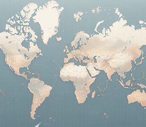
Foundational geographic data for Europe, including detailed administrative boundaries, comprehensive transportation networks, and a wide range of points of interest. This dataset serves as a crucial resource for mapping, spatial analysis, and decision-making across various industries, such as logistics, urban planning, and environmental management. It provides accurate, up-to-date geospatial information that supports diverse applications, from infrastructure development to market analysis. By integrating high-quality geographic data, businesses and organizations can enhance operational efficiency, improve strategic planning, and gain valuable insights into spatial relationships and regional dynamics.
Dataset Details
Need help choosing a dataset?
Contact us for more information:
Discover high-quality geospatial datasets tailored for professional use in logistics, mapping, and data analytics. Our catalog includes detailed location-based data by country, format, partner, and update frequency. All datasets are curated for accuracy, consistency, and usability across industries. Whether you’re building smart city applications or improving route planning, our data supports informed decision-making.
Browse by region or partner to find the dataset that fits your needs. Need help selecting the right format or version? Contact our team for expert guidance.
Trusted by businesses across Europe and beyond, our data solutions are built to scale.