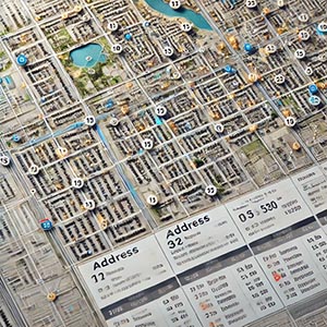
Postal Addressing
The process of mapping, organizing, and standardizing address data, including street names, building numbers, unit identifiers, and postal codes, to ensure accurate representation of locations. This structured approach to address management plays a crucial role in facilitating seamless mail delivery, enhancing geocoding accuracy, and supporting a wide range of location-based services across various industries.
By providing spatially referenced address information, Postal Addressing improves efficiency in logistics, transportation, and emergency response systems. Postal services rely on structured addressing to optimize mail distribution, minimize delivery errors, and reduce operational costs. Businesses use precise address data for customer segmentation, targeted marketing, and service availability analysis, ensuring that products and services reach the intended destinations efficiently.
In urban planning and public administration, postal addressing supports infrastructure development, resource allocation, and utility management by offering an accurate geographic framework for property locations. Digital mapping platforms, ride-sharing services, and navigation applications leverage this data to enhance routing precision, improve user experiences, and enable real-time address validation.
Additionally, Postal Addressing is essential for e-commerce, financial services, and regulatory compliance, helping businesses verify customer identities, prevent fraud, and ensure seamless online transactions. Whether for improving last-mile delivery, refining spatial analysis, or enhancing geographic databases, structured postal addressing provides the foundation for accurate location intelligence and efficient service operations.
Dataset Details
Need help choosing a dataset?
Contact us for more information:
Discover high-quality geospatial datasets tailored for professional use in logistics, mapping, and data analytics. Our catalog includes detailed location-based data by country, format, partner, and update frequency. All datasets are curated for accuracy, consistency, and usability across industries. Whether you’re building smart city applications or improving route planning, our data supports informed decision-making.
Browse by region or partner to find the dataset that fits your needs. Need help selecting the right format or version? Contact our team for expert guidance.
Trusted by businesses across Europe and beyond, our data solutions are built to scale.

